Placer Countywide ATP Draft Walking & Rolling Recommendations Map
Welcome to the Placer Countywide Active Transportation Plan (ATP) Draft Biking Recommendations Map!
The Placer Countywide ATP is a plan for a connected network of safe, comfortable active transportation facilities to provide options for Placer County residents to get where they want to go whether they are walking, biking, or rolling.
In the first round of engagement, we asked you to provide information on where you wanted to go and the challenges you have getting there. We used that feedback to create a draft network and projects for biking, and we want your help to make sure we got it right.
To turn layers on and off, please use the green Layers menu to the right of the map (note: the map will show the most recent layer you turn on over other layers on the map). Commenting instructions and a legend are provided below.
Para proporcionar comentarios utilizando el mapa interactivo en español, haga clic aquí
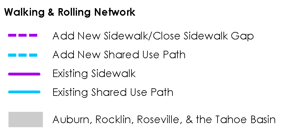
Note: The Cities of Auburn, Roseville, and Rocklin are each preparing their own Active Transportation Plans but are coordinating closely with the Placer Countywide ATP. Any comments within these places will be shared with the respective project teams.
Map Instructions:
- Zoom in to your desired location on the map.
- Double click on the location to open a comment box.
- In the comment box, describe your thoughts and click "Create Comment" to save.
- To draw a line, double click on the map and follow the pop-up instructions to single-click the approximate path of your desired line. Double click again where you want the line to end to stop drawing.
Map Legend
Note: All intersections along a proposed project will be considered for improvements during project development.